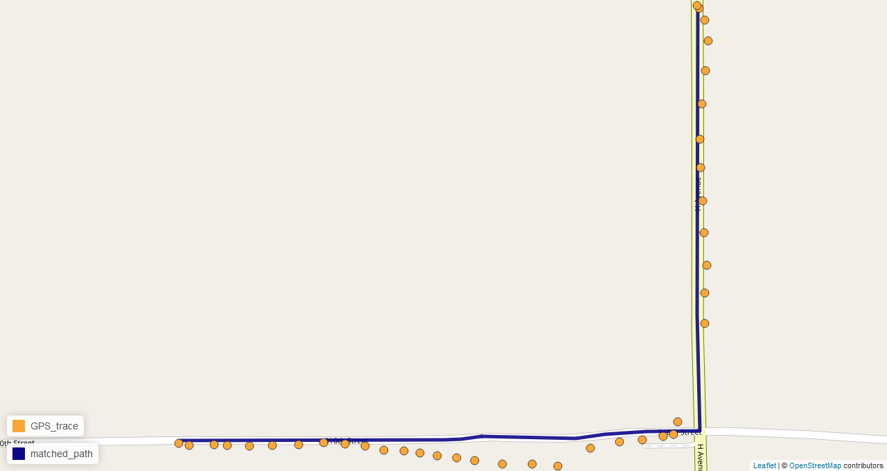
Map matching is an interesting problem that involves snapping noisy GPS traces to a road network with a high degree of accuracy. It is used by ride-sharing services such as Uber and Lyft, transportation researchers, highway agencies, auto insurance companies, and many others for gaining insights into driver behavior and travel patterns as well as improving operational efficiency. There are various commercial and open source map matching solutions available for use such as Google’s Snap to Roads API, Mapbox’ Map Matching API, and QGIS’s map matching plugin; however, these options are either very expensive (e.
Read more →
Leveraging a variety of APIs and scraping methods, we assembled data from many different publicly available data sources, including local, state, and national government data. Combining this data (which is collected at many different spatial resolutions), we explore the factors contributing to quality of life in small towns in Iowa, using both supervised and unsupervised methods to identify clusters of similar towns. Working with stakeholders in the small towns, we create visualizations designed to give small towns access to their own data, helping them to make decisions which preserve quality of life amid shrinking population.
Read more →


